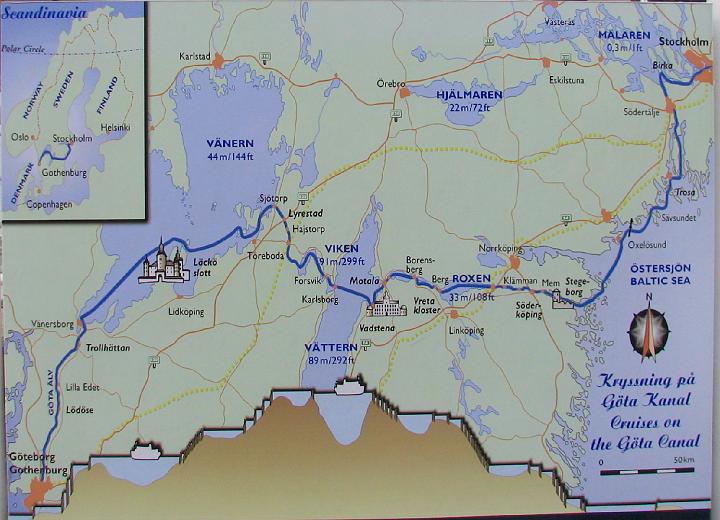
A map showing the Gota and Trollhätte Canals, including the height reached at Lake Viken (91 meters above sea level)
|

| File size | |
| Original date | 9/14/08 6:50 PM |
| Resolution | 1661 x 1201 |
| Flash | Flash did not fire, auto |
| Focal length | 6.0mm |
| Exposure time | 1/60s |
| Aperture | 3.5 |
| Focus Distance | |
| Metering Mode | Multi-segment |
| Camera make | Canon |
| Camera model | Canon PowerShot S2 IS |
| Sensor type | OneChipColorArea |
|


